22 items in this album on 2 pages.
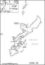 | 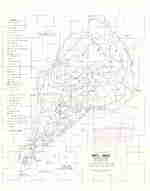 | 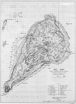 | 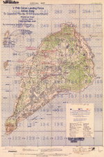 |
| Map of Okinawa, Japan | Map showing military installations and troops dispositions on Iwo Jima, Japan, 14 Sep 1944 | Contour map of Iwo Jima, showing Japanese defense installations as observed from ground study during the period of 19 Feb-19 Mar 1945, map 1 of 2 | Contour map of Iwo Jima, showing Japanese defense installations as observed from ground study during the period of 19 Feb-19 Mar 1945, map 2 of 2 |
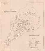 | 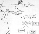 | 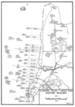 | 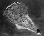 |
| Map of defensive installations on Iwo Jima, Japan, 19 Feb-19 Mar 1945 | Hand-drawn map of Taiwan-Okinawa region by British Pacific Fleet personnel, circa Apr 1945 | Map of landing beaches on Okinawa, Japan, 1 Apr 1945 | Relief Map of Iwo Jima used to brief US carrier pilots; this photo was filed 6 Apr 1945 |
 | 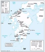 | 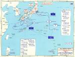 | 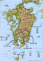 |
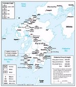
| Map depicting the landings at Ie Shima, Okinawa, Japan by men of US Army 77th Division, 16 Apr 1945 | Estimated Japanese troop depositions in Kyushu, Japan, 9 Jul 1945 | Map depicting the proposed invasion routes of Operation Downfall; Japanese defensive positions were as of Aug 1945 | Map depicting the proposed invasion routes of Operation Olympic |
 | 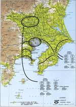 | 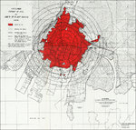 |  |
| Estimated Japanese troop depositions in Kyushu, Japan, 2 Aug 1945 | Map depicting the proposed invasion routes of Operation Coronet | Map showing extent of fire and blast damage to Hiroshima, Japan by the atomic bomb dropped on 6 Aug 1945 | Illustration a typical defense system on the face of Iegusugu Pinnacle, Okinawa, Japan; seen in CINCPAC-CINCPOA Weekly Intelligence, Vol 2, No 5, 13 Aug 1945 |
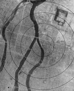 | 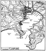 | 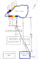 | 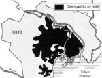 |
| Aerial photo of Hiroshima, Japan shortly after the atomic bombing, Aug-Sep 1945 | United States Army map of Tokyo Bay and the surrounding area, Sep 1945. | Diagram of Iwo Jima invasion beaches with lines of approach used by boats from APA Sanborn drawn by Lieutenant Commander Howard W. Whalen after WW2 | Map depicting the results of an US government survey of bombing damage of Tokyo, Japan, 1946 |
22 items in this album on 2 pages.


